Scientists have discovered an ancient landscape under the East Antarctic ice sheet, which is less known than Mars

(CNN) — An ancient landscape hidden under the East Antarctic ice sheet for at least 14 million years has been discovered with the help of satellite data and an aircraft equipped with ice-penetrating radar.
Scientists used remote sensing techniques to map an area of 32,000 square kilometers, about the size of Belgium. They discovered a landscape formed by rivers before the continental rise of the East Antarctic Ice Sheet, which once resembled the mountains and valleys of modern North Wales. A study was published this Tuesday In the journal Nature Communications.
The researchers set out to trace the history of the ice sheet and its evolution over time, and understanding what Earth looked like beneath the ice sheets is an important chapter in that history, explained Stewart Jamieson, lead author of the study. Professor of Geography at Durham University.
“The landscape beneath the East Antarctic ice sheet is less well known than the surface of Mars,” Jamieson said in a statement.
“That’s a problem because that landscape controls the way ice flows in Antarctica, and it controls how it responds to past, present and future climate change,” he added.
The well-preserved nature of the landscape makes it particularly special. It’s rare to find relatively unchanged landscapes beneath a continental ice sheet: Typically, movement of the ice sheet will erode and grind away the relict landscape as it fluctuates in size and movement, Jamieson explained.
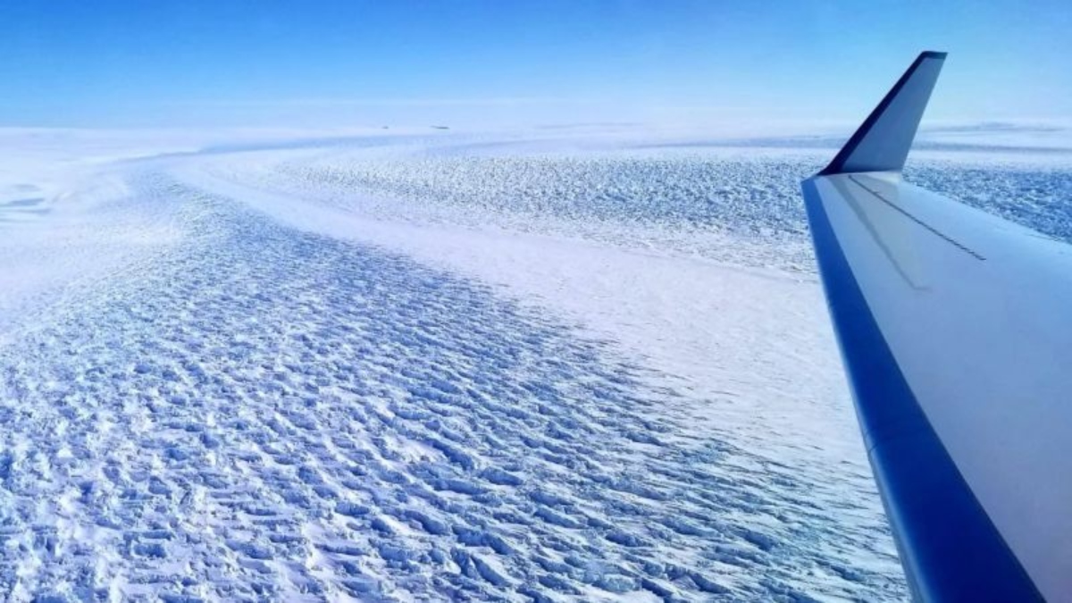
The ancient landscape was discovered beneath the ice within the Denman Glacier in East Antarctica, shown here.
What lies beneath the Antarctic ice
Understanding why this ancient landscape survived unscathed will help scientists better predict the future dynamics of the East Antarctic Ice Sheet, which as the planet warms, has a height equivalent to about 60 meters above sea level.
According to the study, Earth’s climate is about to reach temperatures experienced when the land surface formed 34 to 14 million years ago, which was 3 to 7 degrees Celsius higher than today.
The East Antarctic ice sheet first formed about 34 million years ago, but its size has since fluctuated, sometimes exposing the land below. According to Jamieson, the survival of the landmass means that temperatures at the base of the ice sheets were very cold and stable in these ancient lands, despite some intermittent periods of climate warming.
“In other areas, we would expect there to be liquid water between the ice and the bed, which helps grind things up. That’s not the case in our case. That partly explains how it was able to survive for so long,” Jamieson said in a phone interview.
Geophysical data collected by scientists provided clues about what lies beneath the 2-kilometer-thick ice.
“(The data) measures very small changes in the shape of the upper ice sheet and basically when we look at it and draw it, it looks like a series of interconnected valleys that should be under the ice sheet. We’re basically seeing a ghost of that landscape from above,” Jamieson said.
The research team doesn’t know what flora and fauna might have lived in the area, but the presence of rivers indicates the presence of running water, so it’s likely that there were plants on the landscape.


